
 Enesgy
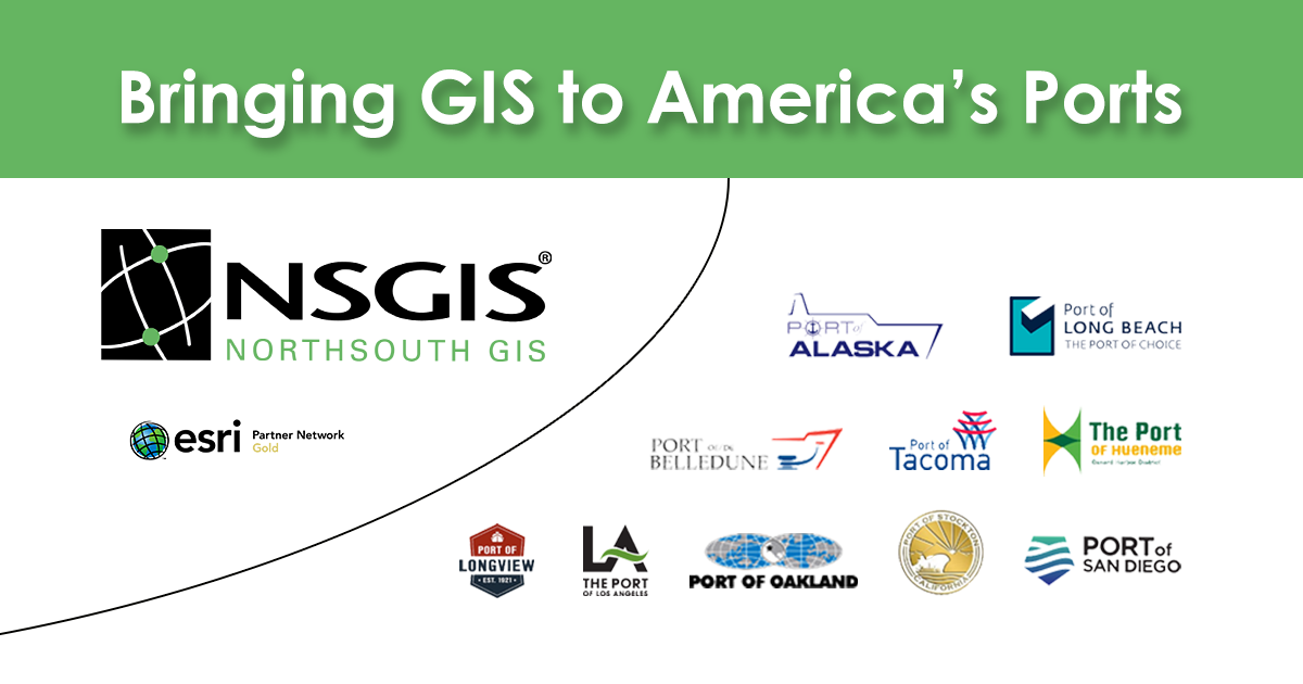
NorthSouth GIS (NSGIS), Esri’s Gold Partner in the ports industry since 2008, has helped over a dozen US ports implement Esri’s ArcGIS Enterprise and ArcGIS Desktop software and geodatabases. In addition to comprehensive GIS solutions that connect core systems to meet the needs of leaders, managers, staff, and first responders, NSGIS reliably leverages the growing array of Esri’s ‘ready-to-use’ apps such as Field Operations Apps, Dashboards, and StoryMaps.
NSGIS has implemented ArcGIS Field Operations apps like ArcGIS Collector and ArcGIS Field Maps for security inspections and field asset verifications at the Ports of Long Beach (CA), in Tacoma (WA) and Belledune (NB). At the Ports of Alaska and Longview (WA), NSGIS deployed ArcGIS Dashboards for lease management and project engineering records management. With the help of NSGIS, StoryMaps have made positive impacts at the Ports of Stockton (CA) and San Diego (CA).
NSGIS revitalized the use of the ArcGIS System at the Ports of Los Angeles (CA) and Oakland (CA), while the Ports for Longview (WA), Stockton (CA), and Hueneme (CA) were introduced to the ArcGIS System for the first time by NSGIS. And the Ports of Long Beach (CA) and San Diego (CA) both started their journey into ArcGIS Enterprise and Portal for ArcGIS, using NSGIS’s professional services staff.
Through its alignment with Esri’s ArcGIS and its Release Ready certification, NSGIS continues to improve productivity and security across North American ports.
Email us at info@nsgis.com to find out how we can help your port take advantage of Esri’s ArcGIS System.