
 Enesgy
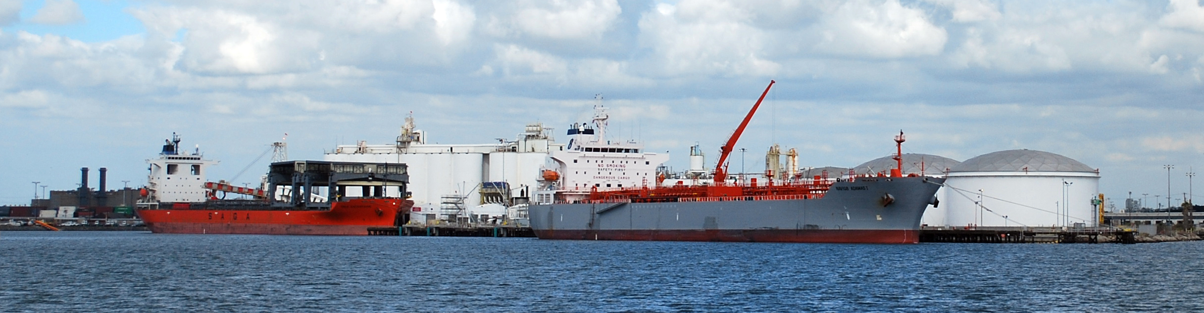
GIS in U.S. Ports
U.S. ports are using Geographic Information Systems (GIS) and other related geospatial technologies more than ever to better manage properties and leases, domain awareness and security, assets and facilities, and operations and maintenance. Still, smaller ports often struggle with determining how to adopt these technologies, costs, and resource requirements and justifying these changes to port commissions. NSGIS can help with every step and provide a gradually phased roadmap to address top concerns.
NSGIS is the leading consulting and software company implementing geospatial technologies in U.S. ports, helping ports — from the very smallest to the absolute largest — on their way to success for more than a decade. We only implement ArcGIS-based solutions from the global leader in GIS software, Esri, with whom we are one of the very select Gold Business Partners.
Designed with small ports in mind, our GIS Starter Pack for U.S. Ports is designed especially for small ports in the range of $25M — $50M in revenues and 20 —100 employees. While every port is unique, we have identified enough common aspects in smaller ports to be able to offer this GIS Starter Pack for U.S. Ports to help the ports move forward quickly without extensive preliminary investigation.
Let us help you chart your own path
With more than a decade of experience specific to ports, NSGIS has figured out how to bring down the costs of these robust solutions using the latest in cloud computing, software-as-a-service subscriptions, and scaled implementations. These solutions are “off the shelf,” commercial, supported and best-in-class, not based on unsupported or obsolete technologies. Please contact us to discuss your needs and costs, likely return on investment, how we can help you budget, contract the work and schedule execution.
Contact us today to get started: info@nsgis.com.