 Enesgy
 ArcWatch —
By Matthew DeMeritt – Esri Writer
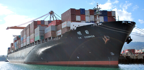
Due to the sheer volume of inventory that ships can carry, ports have larger and more complicated infrastructures than most gateways of commerce. Even the physical structure of ports change over time, with roads and railroads moved, new docks built, and new land added on a regular basis. That dynamic environment recently prompted Port of Los Angeles (Port of LA) officials to consider a complete enterprise geographic information system (GIS) implementation at their harbor-the busiest container port in the United States.
In 2009, the port hired Esri, GIS consultant NorthSouth GIS LLC…